The Birket From Pasture Road to the M53
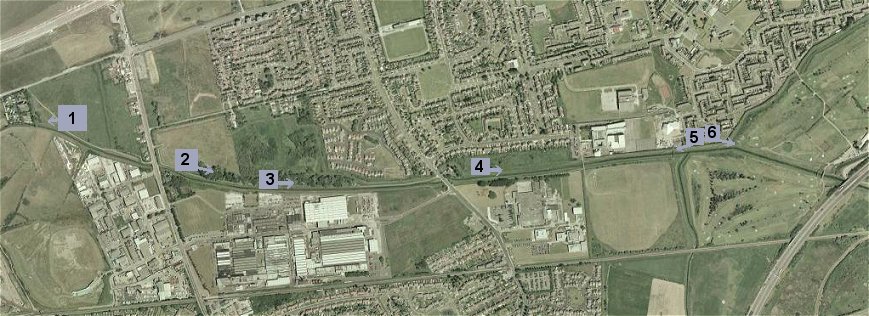
 The green line shows the path I took and the time for the round trip
is shown at the top left.
The green line shows the path I took and the time for the round trip
is shown at the top left.
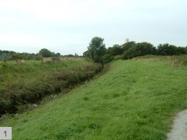 The start of this walk at Bankfield, just east of Leasowe Lighthouse. This photo is looking back (west) towards Lingham Lane. |
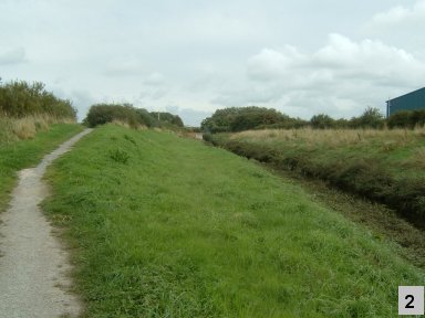 Crossing over Pasture Road, the footpath resumes. The building to the right is part of what used to be Cadbury's Chocolate factory. |
|
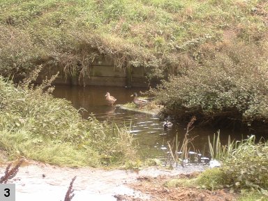 The factory grounds extend all the way from Pasture Road to Reeds Lane. About half way along the walk between the two roads the Birket widens briefly and the water is enjoyed by a few ducks. |
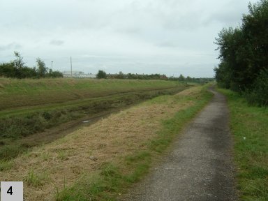 After crossing Reeds Lane, the footpath switches to the south side of the River Birket and continues east towards Bidston and the M53 motorway. Although difficult to make out in this photo, you may just see a footbridge in the distance across the Birket. |
|
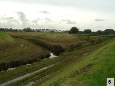 Here, I have crossed over the footbridge and am looking back towards it, to see where the River Fender joins the River Birket. |
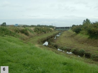 The Birket continues east and bends to the right before passing under the motorway. |
<< Back | The M53 and beyond...