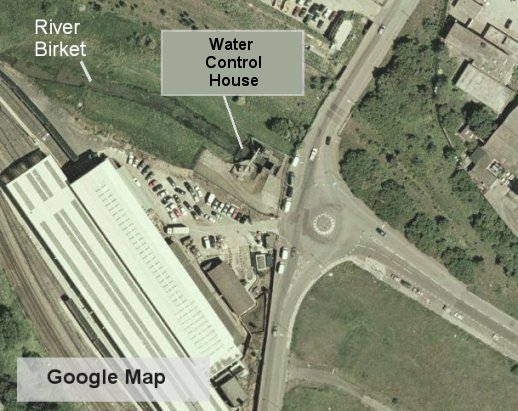
The Water Control House
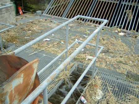
All of the rivers in north Wirral seem to join the River Birket at some point so I decided to take a look where the Birket discharges.These photos show the last place where there is actually open fresh water. I'd traced the River Birket to where it disappeared underground with the help of Google Maps and decided to forego the walking boots and take a drive to the junction of Wallasey Bridge Road and Beaufort Road near the West Float. As I arrived, I was lucky enough for there to be a couple of Environment Agency technicians taking a break in their van. They kindly let me take the following pictures inside the compound which I would otherwise not have been able to get.
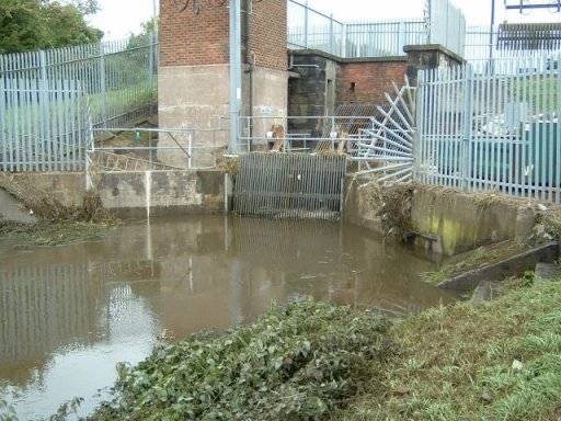

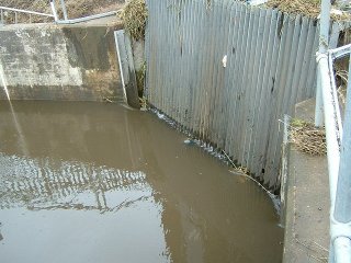
This is where the water from the River Birket, Newton Brook, Greasby Brook, Arrowe Brook, the River Fender and Prenton Brook, plus countless tributaries, last sees the light of day. This is the Environment Agency's Water Control House near the Wallasey West Float Docks.
 |
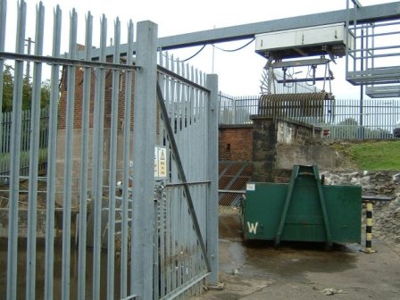 |
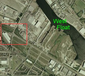
Although the Environment Agency have their own pumping station, it is now disused and the water is pumped from the West Float with a pumping station operated by United Utilities (our local water company). Pumps are required because the River Mersey, to which the West Float is ultimately connected, is tidal and is often higher than the West Float. So, it seems we depend on technology at least as much as we depend on gravity to keep our living room carpets dry!
Tomorrow I intend to investigate the West Float itself but I'm not too hopeful of being able to get close enough to see much.